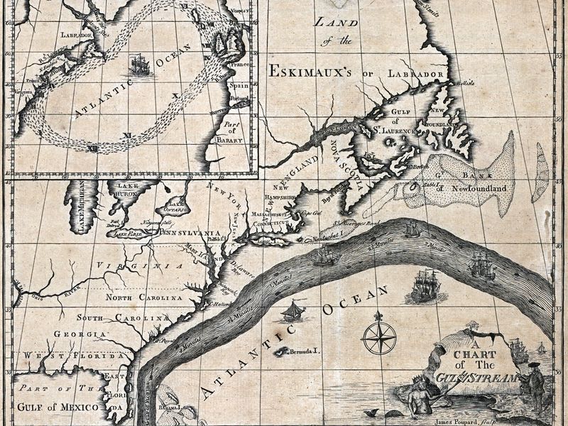
This copy of the first chart of the Gulf Stream was printed in 1786, ten years after Benjamin Franklin first drew it up. Credit: Library of Congress
First Map of the Gulf Stream
Source: Kat Eschner, Smithsonian.com
[02-May-2017] Benjamin Franklin is known for shaping the Constitution, and experimenting with electricity. What doesn't often get mentioned is that he was also the first to
chart the Gulf Stream. He completed the first scientific study of the current on this day in 1775, according to Today in Science History.
View: Click on the image to enlarge. Click on the Escape key or anywhere outside the shadowbox to close.
Download: To download a copy, right click on the image and select Save Image As (on a Mac keyboard, click the touchpad while holding down the Control key). To download the highest resolution in our database, first click on the image to enlarge and then save that version.
